Cedar River Watershed
King Co., WA.
(2009)
Geomorphic Assessment/ Hydrologic, Hydraulic and Sediment Transport Analysis
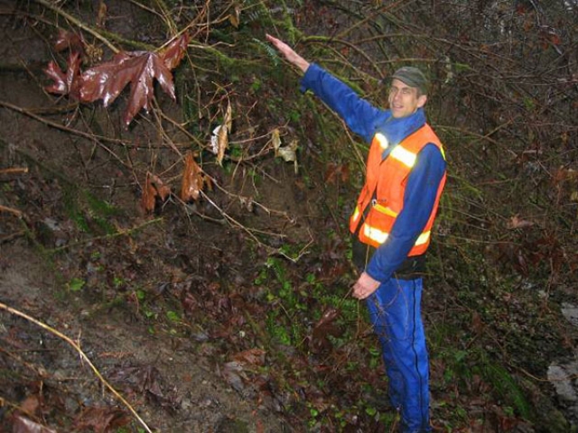
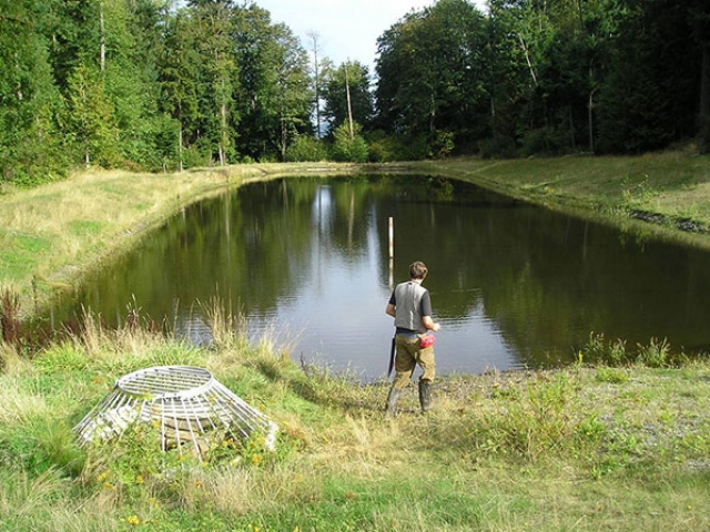
HGD provided a base-line geomorphic assessment, debris flow risk, and dam break analysis for a steep ravine tributary to the Cedar River. A residential development is planned for a plat at the bottom of the ravine and there is a 2 acre storm water detention basis at the upper portion of the ravine. Hydrologic, hydraulic and sediment transport analysis was conducted to quantify potential debris flow hazards under dam break conditions. Debris flow volume, velocities and depth were determined for worst case scenarios to develop mitigation and debris flow control measures necessary for the safety of the residential development. Otak Inc.


